In a nutshell
- The E10 highway finally connected the remote village of Å to the rest of Lofoten, transforming isolation into accessibility for islanders and visitors alike.
- The route crosses numerous bridges and tunnels engineered to withstand Arctic conditions, each one a feat of Nordic infrastructure adapted to harsh island geography.
- The Nappstraumen tunnel is currently under reconstruction to improve safety and durability against the extrem.
- The E10 earned its royal name by connecting isolated communities and opening Lofoten to modern travel, becoming one of Norway's most scenic driving routes.
- View the full route across the archipelago to understand how engineering solutions link dramatic peaks, deep fjords, and historic fishing villages into one continuous journey.
Before the Road: How Islanders Crossed the Arctic Sea
For centuries, the villages of Lofoten existed as isolated communities connected only by water. Å, Reine, Hamnøy, and Sakrisøy were reached by boat in summer and cut off entirely during winter storms. Fishermen navigated between islands in open wooden vessels, timing their journeys around the Arctic weather and tidal currents. The Nappstraumen strait between Vestvågøya and Flakstadøy was particularly treacherous, with currents that made passage unpredictable and dangerous. This maritime dependence shaped island culture profoundly: supplies arrived by sea, fish was exported by boat, and news from the mainland took weeks to reach remote settlements. Your tour traces the same geography these communities knew intimately, but now by minivan across engineered pathways rather than by oar and sail.
The shift from boat to road happened gradually. In the early 20th century, small ferries began connecting the larger islands, but many remote areas remained accessible only by water or not at all. The E10, now called King Olav's Road, represented the first comprehensive attempt to knit the archipelago into a single overland route. Construction began in phases during the 1930s and continued for decades, with each bridge and tunnel marking a major engineering milestone and a permanent change to island life. The route you travel on this 9-hour journey is therefore a relatively recent achievement, less than a century old in most sections, transforming what had been a seafaring world into a connected road network.
King Olav's Road: Building the E10 Through Arctic Conditions
The E10 was officially named in honor of King Olav V of Norway, whose reign saw the completion of the final sections connecting all major Lofoten Islands. Construction crews faced conditions unlike anywhere else in Norway: extreme winter weather, rock that shifts with every freeze and thaw, and the constant battering of Atlantic storms. Engineers had to devise solutions for building on unstable ground while maintaining a road that would not crack or shift with seasonal freeze-thaw cycles. The route was deliberately engineered to follow the most sheltered inland passages where possible, avoiding the exposed coastal cliffs that islanders had historically navigated by boat. The first major sections opened in the 1940s, but gaps remained until the 1990s, when the final tunnels connected the most remote settlements.
Today, the E10 serves as both a practical highway and a symbol of Norwegian infrastructure achievement in extreme environments. As your minivan travels from Svolvær southward through Flakstad, Ramberg, and toward Å, you are following a road that fundamentally altered island economies and culture. Fishing, once dependent on boat access and harbor infrastructure, now moved toward road-accessible processing facilities. Tourism became possible year-round rather than only in summer months. The road made Lofoten accessible to mainland Norway in ways that would have seemed miraculous to 19th-century islanders.
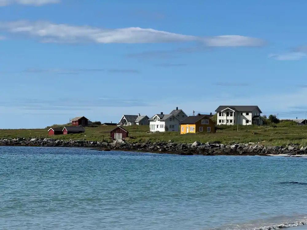
Nappstraumen tunnel mouth frames the Arctic strait beyond
Bridges That Span Impossible Waters
No bridge crosses the Moskstraumen: the maelstrom churns in open sea beyond Å, where the road stops. The most dramatic crossings on this route are the short bridges that string Hamnøy, Sakrisøy and Reine together. Each stands on rock in a tidal channel, and each had to be built to take Atlantic wind loads on an exposed span. The view from your minivan will reveal the dramatic water below and the mountainous terrain on either side.
Other notable crossings include the bridges at Henningsvær and the elegant span at Ballstad, each designed with particular attention to the currents, wind forces, and geological conditions of their specific locations. Arctic storms generate waves and wind pressures that would damage ordinary highway bridges, so engineers incorporated reinforced cable systems and deep foundations that anchor the structures against forces far exceeding those in temperate regions. Your local guide will point out the engineering details as you cross, explaining how storm damage in previous years led to reinforcements and redesigns. These bridges are not merely connections between islands; they are monuments to Norwegian engineering problem-solving in one of Europe's most challenging environments.
Tunnels Carved Through Mountain Stone
Lofoten's dramatic mountain spine made tunneling inevitable on the E10. Rather than route the road around peaks or up and over them, engineers chose to bore directly through stone, creating a route that is faster, safer in winter, and less visually intrusive on the landscape. The Nappstraumen tunnel, which you will pass through on this tour, originally opened in 1990 but is currently undergoing a major rebuild to modernize ventilation systems and widen the passage for contemporary traffic. This tunnel exemplifies a larger pattern across Lofoten: roads built 30 or 40 years ago are now being retrofitted to handle heavier vehicles, increased tourism, and stricter safety standards. When complete, the new tunnel will include upgraded lighting and emergency infrastructure.
Other notable tunnels include the Lofast tunnel and the Fredvang tunnel, each carved through different rock types and geological conditions. Some tunnels required years of blasting and excavation, with crews working in harsh conditions and sometimes abandoning routes when they encountered unexpected geology. The tunnels you pass through are typically lit by fluorescent strips, and many feature curved sections that were engineered to reduce driver fatigue on long passages. Your minivan's journey through these tunnels is brief, but each one represents months or years of labor and millions in investment, all to create a seamless road across islands that sea captains once considered permanently separate from each other.
Arctic Storms and the Evolution of Road Engineering
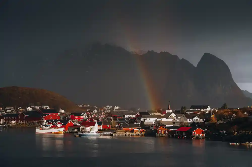
The E10 is repeatedly battered by Arctic storms that would close or damage roads in less resilient regions. Winds regularly exceed 100 kilometers per hour, and winter storms bring snow accumulation that can isolate sections of road within hours. To withstand these forces, Lofoten's road network uses reinforced barriers, specially anchored guardrails, and bridges designed with wind-resistant profiles. Road crews maintain equipment positioned at strategic locations so they can respond to blockages within minutes. The most exposed sections of road are marked with poles every few meters to guide drivers through whiteout conditions when visibility drops to near zero. Your tour operates year-round, but winter journeys require different routes and driving techniques compared to the relatively mild conditions of summer months.
The relationship between Arctic weather and road engineering has driven continuous innovation on the E10. Avalanche sheds protect certain sections, channeling falling snow and rock away from the road surface. Drainage systems are designed to prevent ice formation on road surfaces, and the asphalt itself is formulated to remain functional in extreme cold. Recent upgrades have included improved salt dispersal systems and grit dispersal at the most vulnerable locations. Your local guide will explain how these systems work and point out evidence of storm damage and repairs as you travel. The road you are driving on represents not a finished product, but an ongoing conversation between Norwegian engineers and one of the world's harshest climates.
National Tourist Route Viewpoints and Designed Landscapes
The E10 is designated as part of the Norwegian National Tourist Routes, a program that combines road infrastructure with carefully designed viewpoints, rest areas, and architectural elements that enhance the landscape experience. Several viewpoints along your route were specifically designed by renowned architects to frame views of Lofoten's most dramatic scenery while protecting the natural environment. These viewpoints include parking areas, information installations, and sometimes shelters built from local materials and designed to complement the surrounding topography. Unlike ordinary highway rest stops, these facilities are considered integral to the landscape and regional identity. Your guide will stop at specific viewpoints to explain both the scenery and the design philosophy behind these spaces.
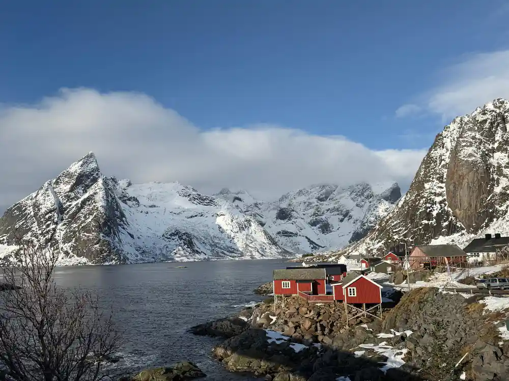
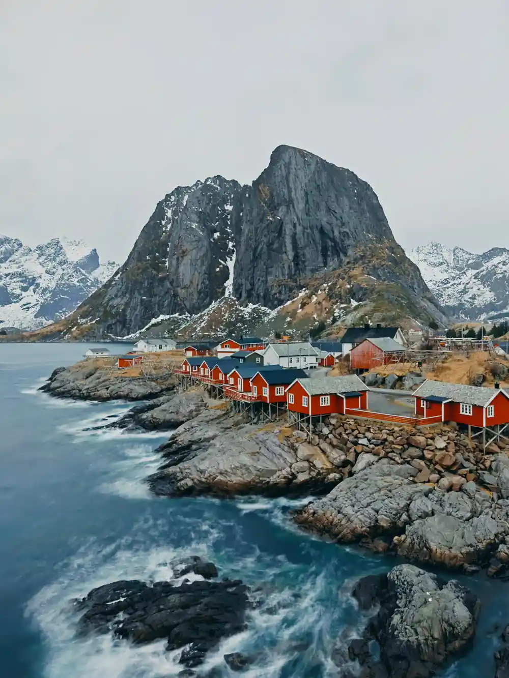
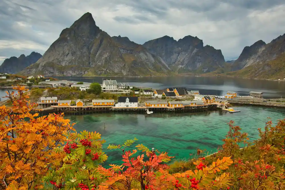
The viewpoint at Reine, for example, was designed to present the village and its surrounding mountains in a composition that matches the perspective that visitors arrive with by road. Information boards explain the geology of the peaks, the history of the village, and details about the fishing industry that remains central to local life. Similar facilities exist at Å, where the road ends at the southernmost point of the islands, and at Hamnøy, where the iconic red fishing cabins create one of the most photographed scenes in Norway. These viewpoints are not accidents of geography but deliberate interventions that help visitors understand both the natural landscape and the human communities that have shaped it. Your 9-hour minivan journey includes stops at multiple viewpoints, giving you time to absorb both the scenery and the stories these locations contain.
From Svolvær to Å: Tracing the Complete Route Today
Your 9-hour tour departs from Svolvær or Leknes and travels the entire length of the E10 as it passes through Lofoten's most iconic settlements. The route covers approximately 7 distinct stops across Flakstadpollen, Flakstad, Ramberg, Å i Lofoten, Hamnøy, Sakrisøy, and Reine before returning to Svolvær. The drive itself is considered part of the experience, with your local English-speaking guide providing context about the engineering, history, and communities you pass through. A proper meal break is included, allowing you to experience local food and interact with residents of the villages. The relaxed pace means you are not simply checking off viewpoints, but spending sufficient time at each location to understand why the road was so difficult to build and why reaching these communities by land was once considered impossible.
The engineering that created this route was not a single achievement but a sequence of projects spanning multiple decades and representing evolving technologies and approaches. Your journey traces this history visually: you will cross bridges designed in the 1950s alongside tunnels completed in the 2000s, each representing the engineering knowledge available at the time of construction. The comfortable 9-seater minivan allows closer interaction with your guide than a larger tour bus would permit, and personal headsets ensure you can hear detailed explanations even during passages through noisy tunnels. Hot Norwegian drinks and light snacks sustain you throughout the day, keeping you comfortable as you explore the landscape that road engineering fundamentally transformed. This tour is an immersion in both Arctic geography and Norwegian infrastructure history.
Experience the Road to Å in Person
from US$209Reserve now & pay later