In a nutshell
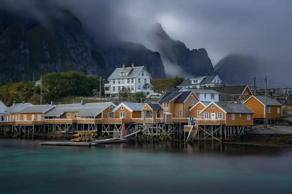
- Reine, Hamnøy, and Sakrisøy each have distinct character. Reine is Europe's most photographed fishing village. Hamnøy is known for its iconic bridge viewpoint. Sakrisøy stands out with ochre-yellow houses.
- Beyond photography, Reine offers hiking trails including Reinebringen and other routes starting near the village. The tour includes a proper meal break, giving you time to explore on foot.
- Hamnøy's most photographed angle comes from a specific vantage point near the distinctive red bridge. Your local guide will show you where locals and visitors find the classic shot.
- These three settlements sit within four kilometres of each other. Reine to Hamnøy is nearly six kilometres by road, over bridges with no footway, so the minivan is how you cover the ground between them.
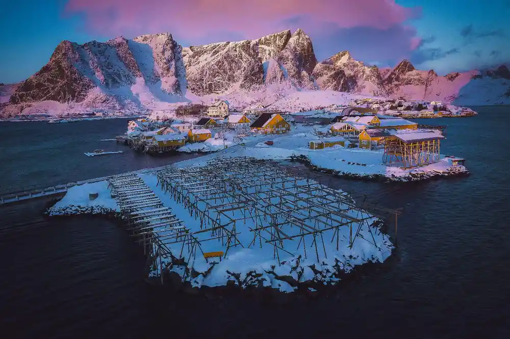
- This working fishing village differs from its neighbours with its distinctive ochre-yellow painted houses. It offers insight into how colour, heritage, and livelihood shape a northern Norwegian community.
Why the Rorbuer Cabins Are Painted Red
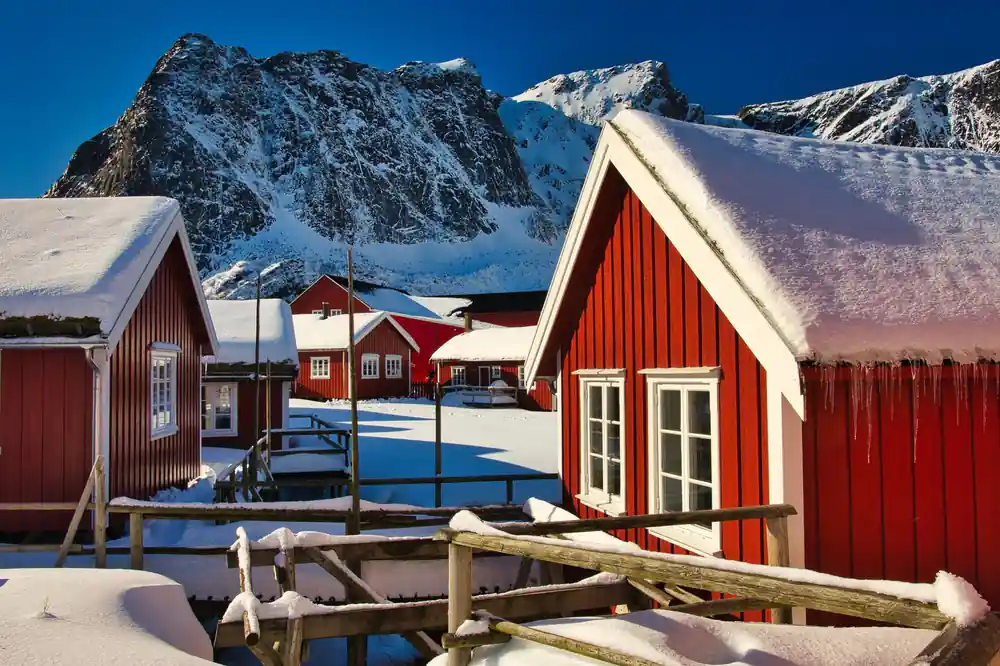
The iconic red cabins scattered across Lofoten's coastline tell a practical story rooted in maritime history. In the 18th and 19th centuries, fishermen needed a way to identify their equipment and structures quickly in poor visibility and heavy fog. Red ochre paint, derived from iron oxide, was affordable, durable, and highly visible against the sea and rock. It became the standard for fishing settlements across Scandinavia. The colour was above all the cheap one: iron-oxide pigment came out of Scandinavian copper mining as a by-product and cost a fraction of any alternative.
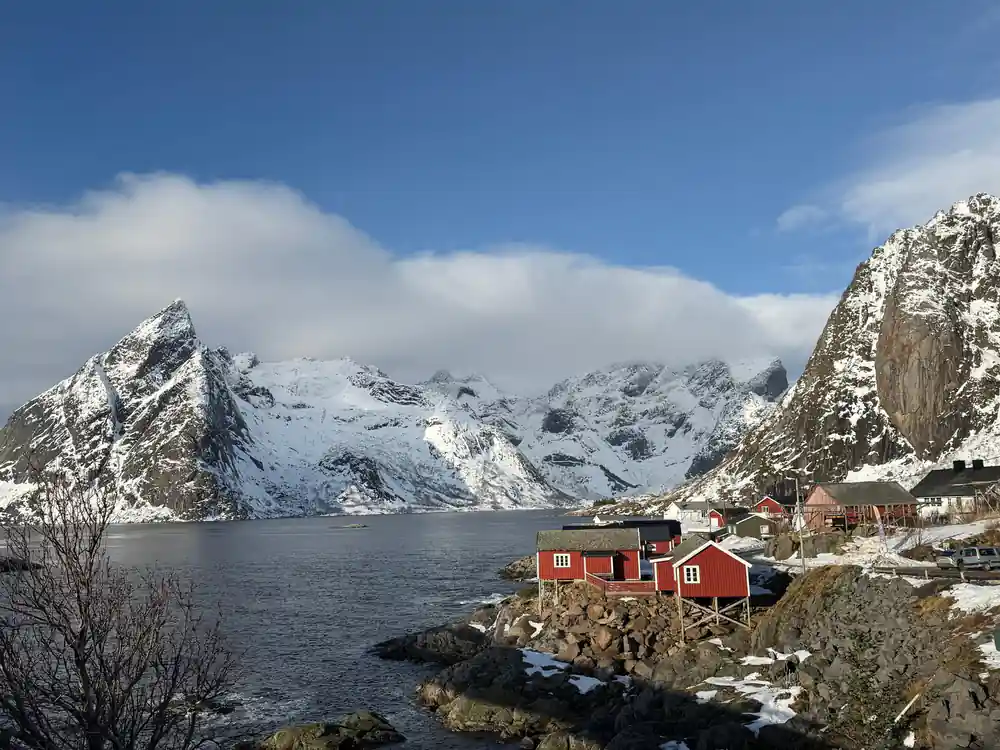
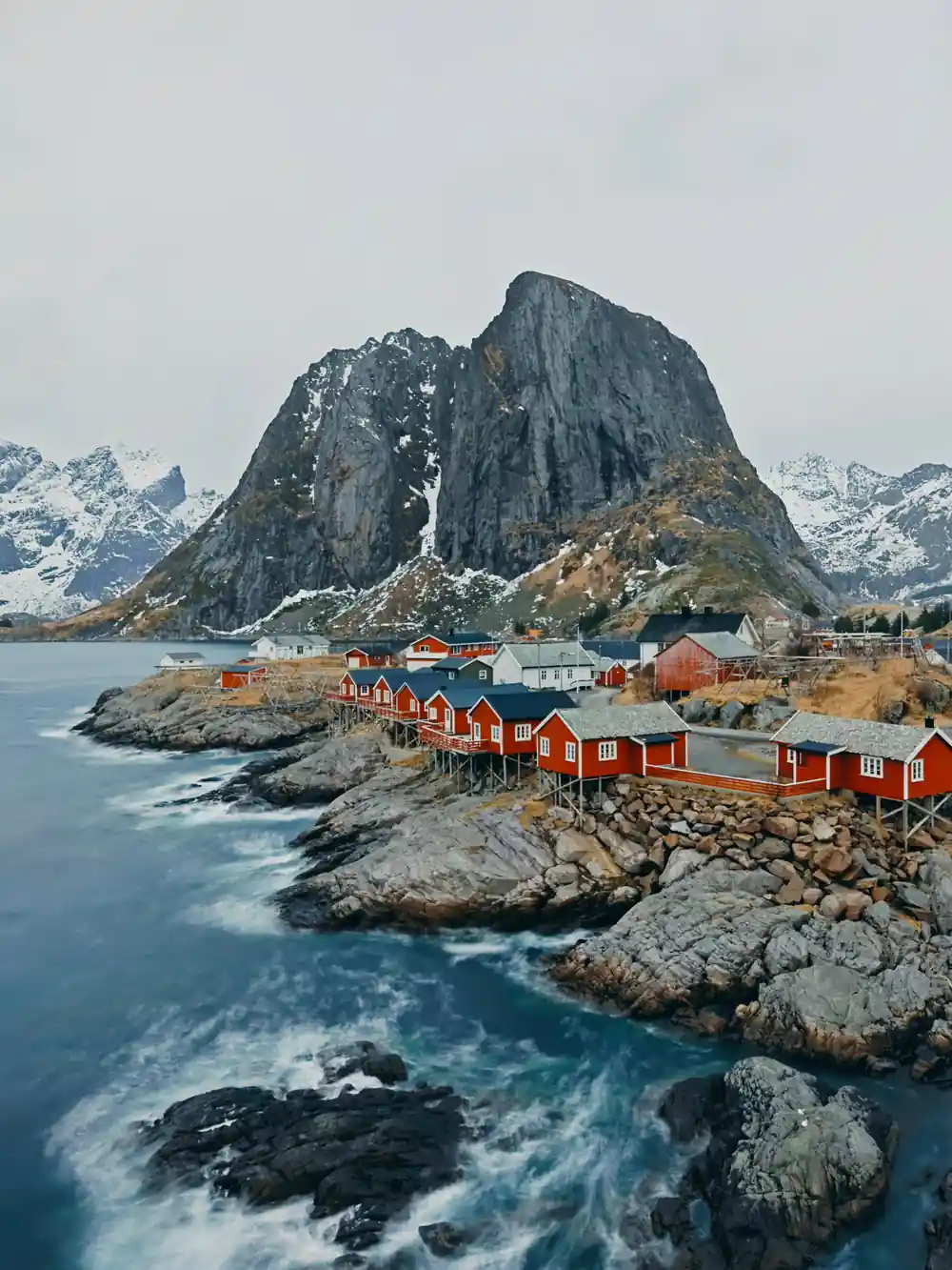
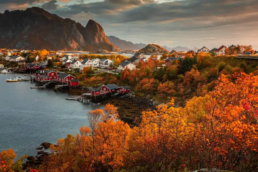
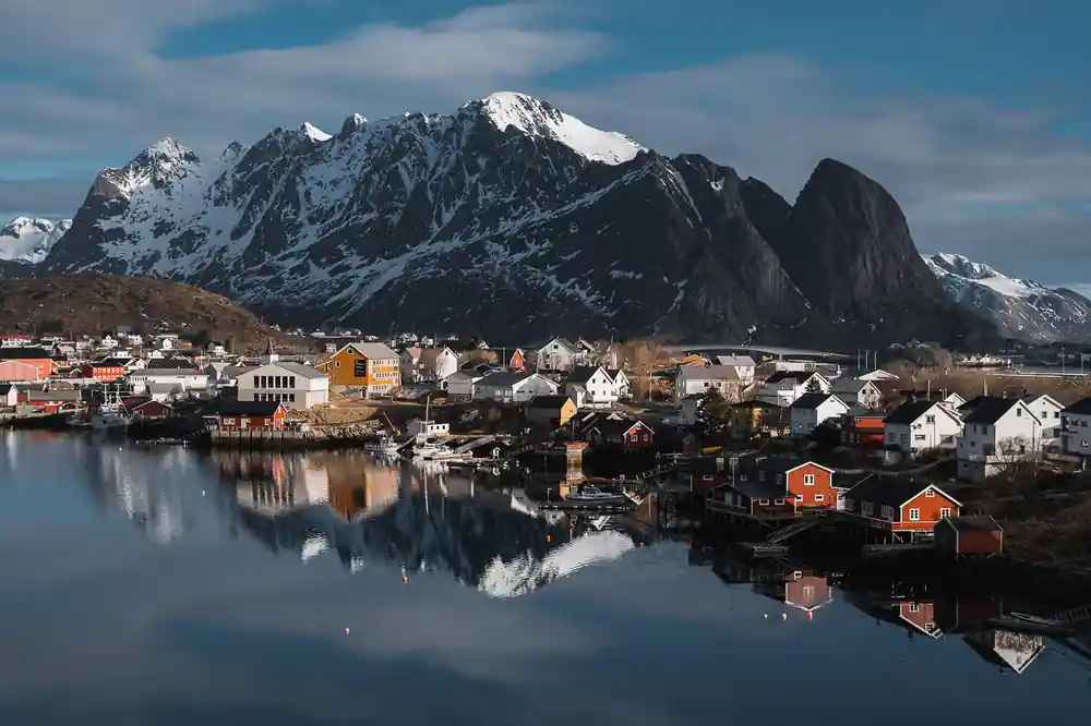
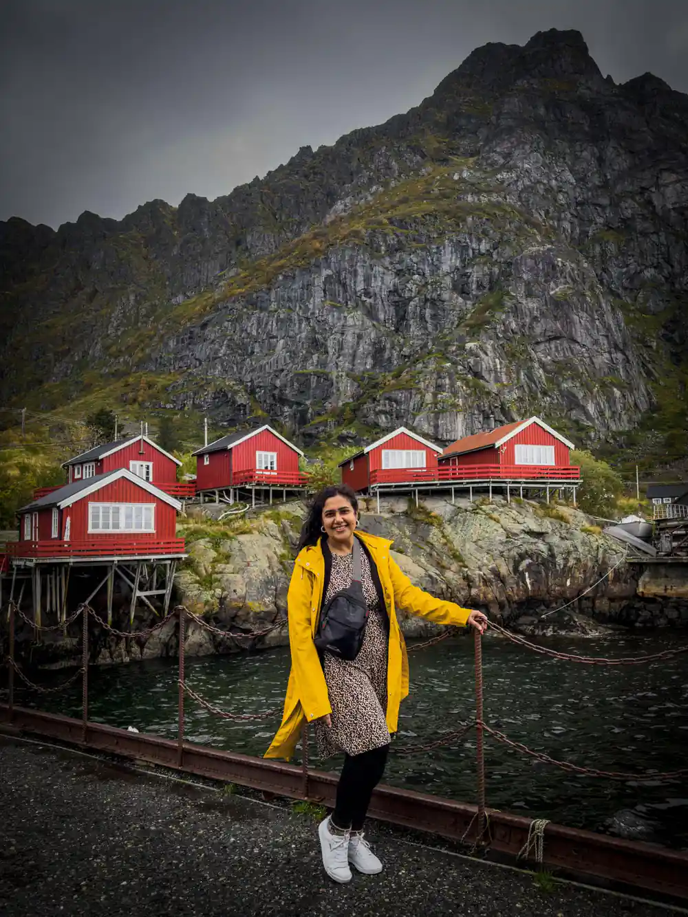
Today, the Hamnøy fishing village and its rorbuer remain painted in this traditional deep red, a living connection to the region's fishing heritage. When you stop during your 9-hour tour, you'll see how these cabins line the water's edge, their reflections creating the mirror-like images that have made Lofoten famous in landscape photography. The paint colour is no longer a necessity but a choice to preserve authenticity and respect the villages' identity. Each cabin you see represents generations of fishermen and their families.
Sakrisøy's Ochre Houses and Coastal Charm
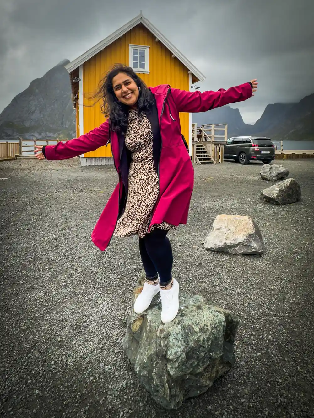
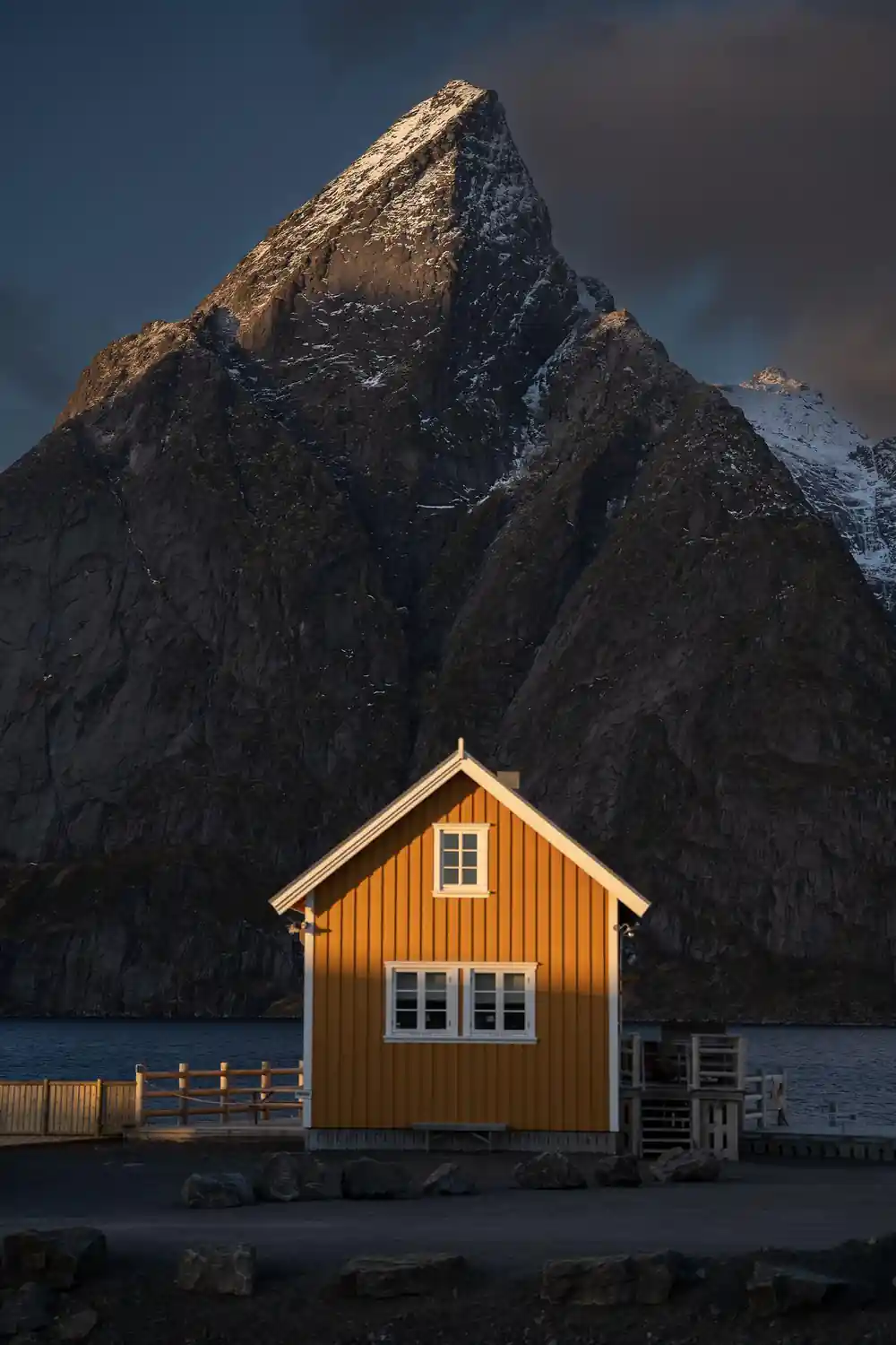
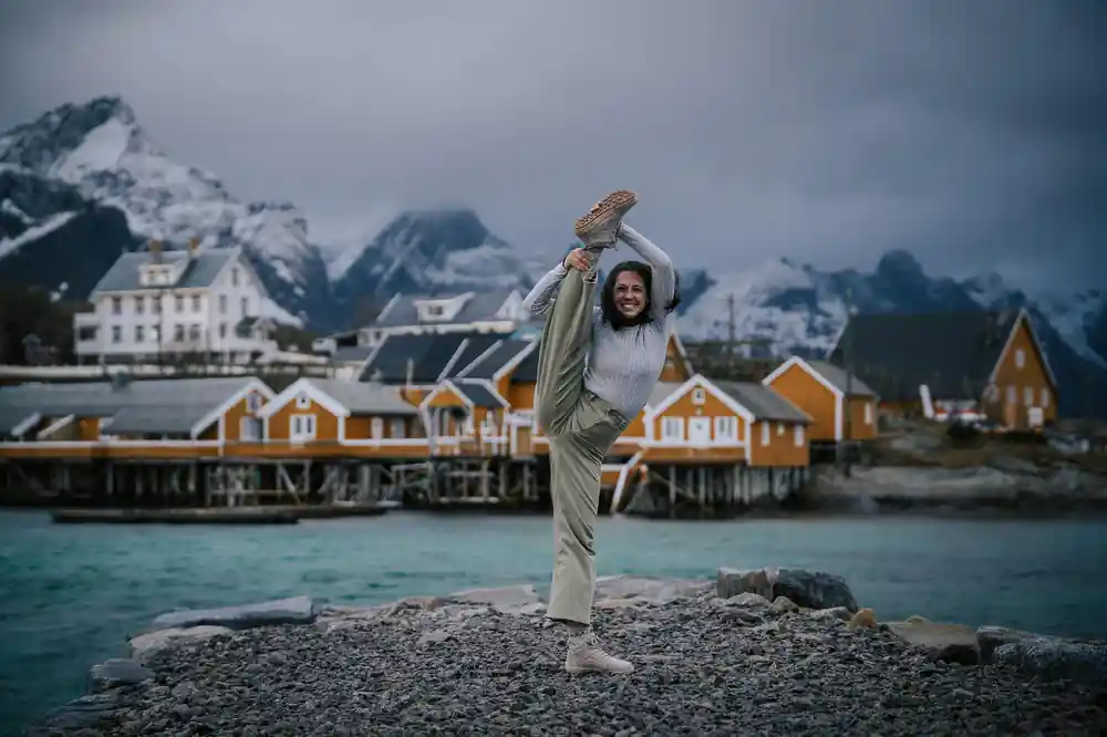
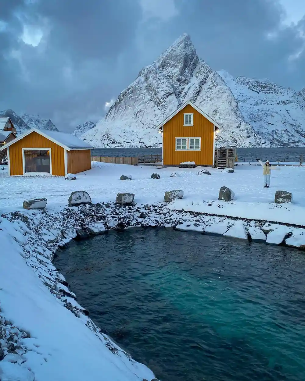
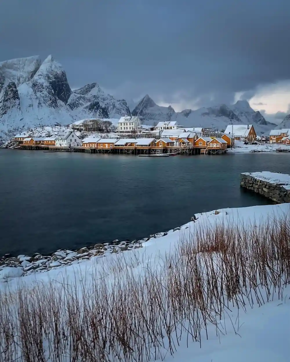
While most of Lofoten's fishing villages adopted red, Sakrisøy in the Lofoten Islands Norway chose a different palette. The houses here display a distinctive ochre-yellow tone, a colour that evokes warmth and stands out distinctly against grey sea and sky. This variation reflects local preference and the independence of small fishing communities, each developing its own character. The Sakrisøy rorbu cabins cluster tightly along narrow wooden bridges and pathways, creating an intimate harbour setting that feels frozen in time.
The ochre colour works beautifully in the long summer light, when it glows during the midnight sun hours and attracts photographers from across Europe. The tight arrangement of buildings and the shallow water between them create natural framing that makes every angle photogenic. During your tour stop, you'll have time to walk among these cabins, cross the wooden bridges, and understand how fishing families lived in these compact settlements where every metre of space was essential for storing nets, boats, and supplies.
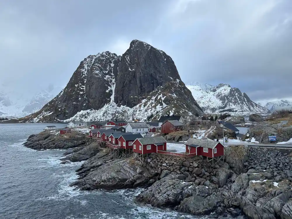
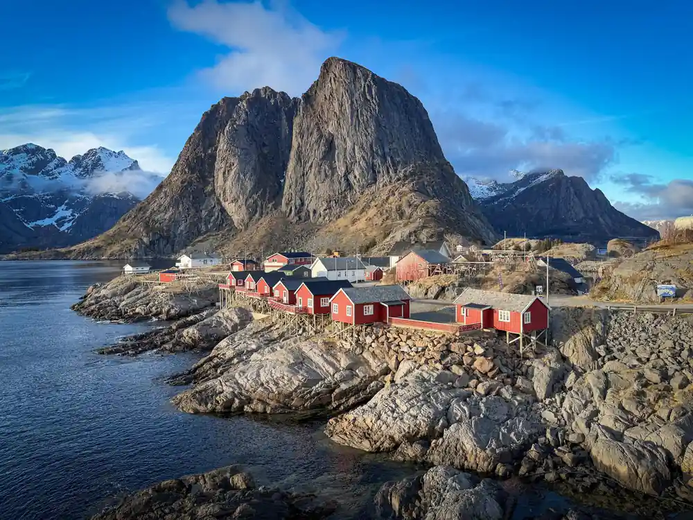
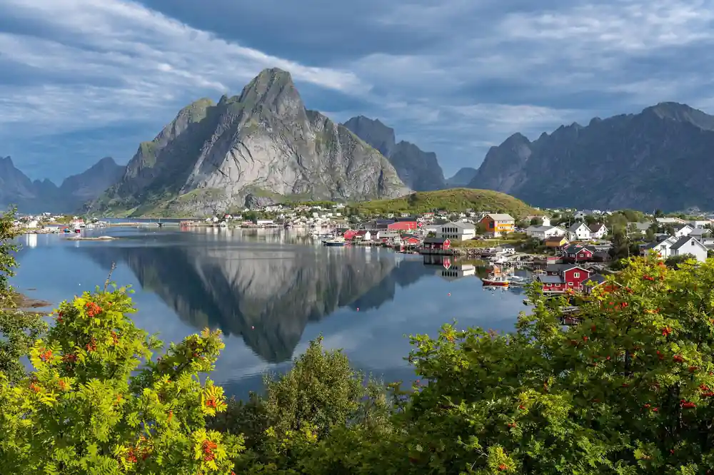
Red rorbuer beneath Hamnøy's peaks from the bridge
Hamnøy Rorbuer and the Famous Bridge Viewpoint
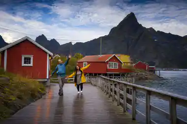
The Hamnøy rorbuer Lofoten cabins are among the most recognisable structures in the Arctic. They sit on stilts above the water, connected by a series of wooden bridges and pathways that create a labyrinth of intersecting sightlines. The classic viewpoint for photographing Hamnøy is from the bridge that connects the main cluster of cabins to the surrounding rocks, where you can see multiple buildings stacked in layers, their red reflections breaking and reforming in the rippling water below. This angle has appeared in countless travel magazines and social media feeds.
The practical reason for the water-based construction was straightforward: fishermen needed direct access to their boats, and building over water saved valuable land for drying fish and storing equipment. The bridges that link each cabin were also communal spaces where neighbours met and shared news. When you visit during the tour, the bridges remain functional and walkable, offering an authentic experience of how residents navigated their settlement daily. The geometry of Hamnøy, with its stacked perspective and repeating red forms, explains why photographers return here year after year.
Population, Fishing History, and Modern Life
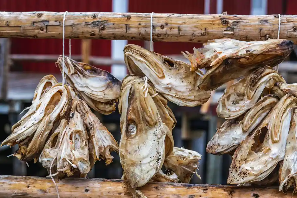
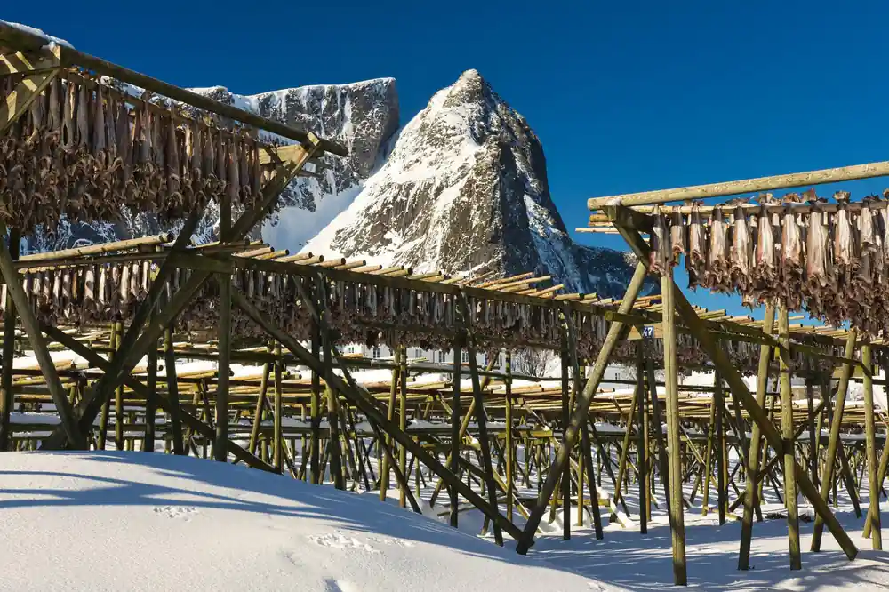
Reine itself is home to around 300 people, a number that has remained relatively stable over the past few decades as younger residents balance traditional fishing with tourism and creative work. The village's economy historically depended entirely on cod fishing, particularly during the winter spawning season when fish migrated south and created the richest grounds in Europe. Fishermen from across Scandinavia and beyond came to Lofoten to participate in the winter fishery, a tradition that shaped the entire region's culture and economy for centuries.
Today, fishing continues but shares space with other livelihoods. The Reine Tourist Information Center can provide current details about local businesses, guides, and seasonal activities if you want to explore further after the tour. The shift from mono-economy to diversified work has allowed young people to stay or return to Reine, maintaining the community's vitality. You'll notice during your visit that the village balances preservation with practicality, maintaining traditional buildings while adapting them for contemporary use. This tension between heritage and progress is part of what makes Reine distinctive.
Reinebringen: The Hike and Nearby Mountain Trails
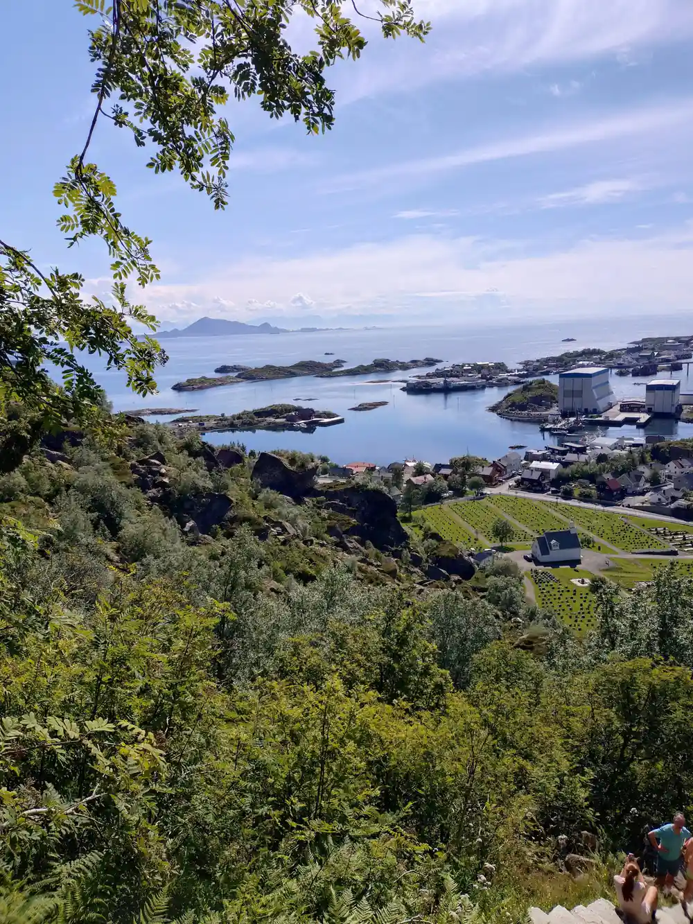
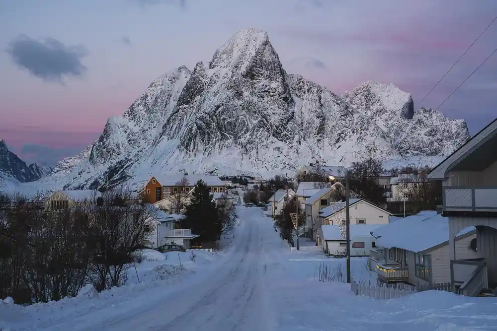
Reinebringen, the distinctive jagged peak that rises directly behind Reine village, is one of Lofoten's most recognisable landmarks. The hike to the summit takes approximately 45 minutes to an hour, climbing steeply through rough terrain with a final scramble to the 448-metre peak. From the top, you see the entire Reinefjorden, the villages of Reine, Hamnøy, and Sakrisøy below, and the Arctic Ocean stretching to the horizon. On clear days, the views extend across multiple fjord systems and mountain ranges. The tour stops in Reine for 30 minutes, so the climb is a separate outing: it needs two to three hours, good fitness and proper footwear.
Other hiking options near Reine include longer trails to Yuletinden and Olstinden, which offer different perspectives of the fjord without the scramble of Reinebringen. These routes take 2 to 4 hours and wind through mountain terrain with views across Reinefjorden and its surrounding islands. The choice depends on your fitness level and the time available during the tour stop. Some trails pass through rare Arctic vegetation and offer chances to see sea eagles and other wildlife. The landscape here changes dramatically with season: spring brings rushing water from snowmelt, summer offers accessible trails and green vegetation, autumn brings dramatic light and fewer crowds, and winter can make higher routes inaccessible.
How Reine Became Europe's Most Photographed Village
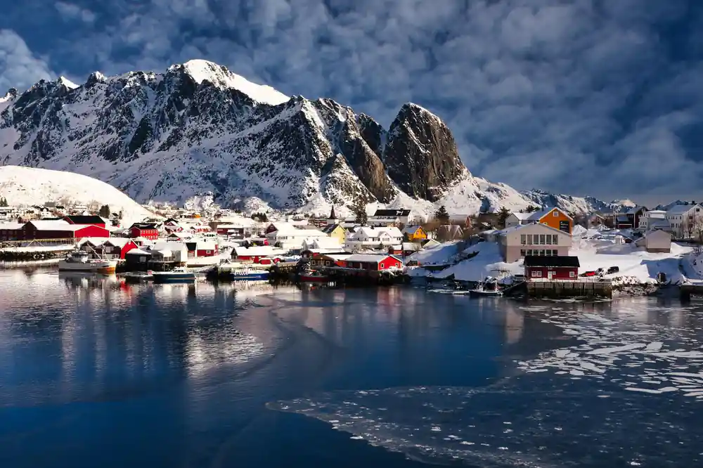
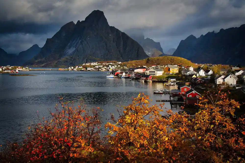
The transformation of Reine from an anonymous fishing village into one of Europe's most photographed places happened gradually over the past 15 years, accelerated by social media and landscape photography. Several factors converged: the geometry of the settlement, with its steep mountains rising directly behind scattered houses; the availability of reflective water in sheltered harbours; the presence of red and ochre buildings that create strong visual contrast; and the Arctic's extreme light cycles that produce dramatic conditions. Professional photographers discovered that Reine offered consistent compelling compositions, and their images spread rapidly across Instagram, Pinterest, and travel blogs.
The visit Reine norway experience now includes contending with other visitors seeking the same views, especially in summer and during the midnight sun season. The Reine Tourist Information Center has implemented visitor management strategies to protect the environment and maintain quality of life for residents. During your tour, the local guide will direct you to less crowded viewpoints and explain the stories behind the images you've likely seen online. The paradox of Reine is that its fame now attracts the very crowds that can diminish the contemplative experience that made it special. Understanding this tension is part of understanding modern tourism in Lofoten.
Reinefjorden: Waters, Islands, and Seasonal Light
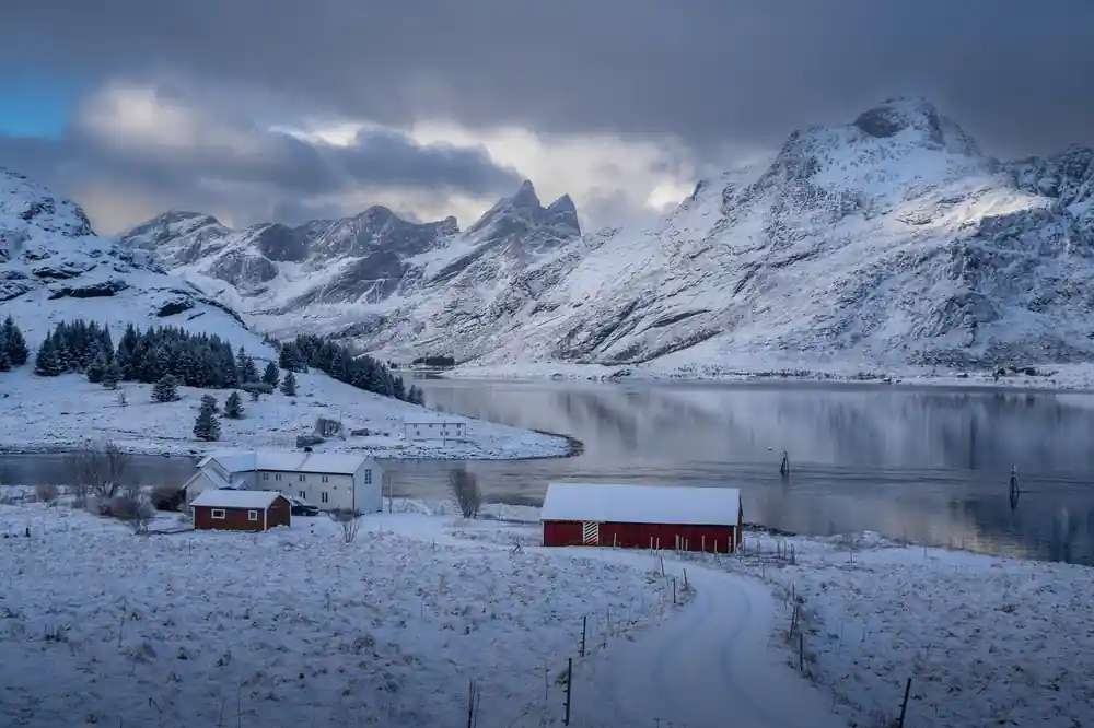
Reinefjorden is the body of water that separates the Reine village area from the open sea, surrounded by steep mountains and dotted with smaller islands that create natural barriers and sheltered anchorages. The fjord's waters are cold year-round, reaching temperatures that support Arctic fish species and marine life. Several small islands within the fjord system, including Vindstad and Kirkefjord, have their own settlements and are accessible by boat. The fjord's depth and geography made it ideal historically for winter cod fishing, as deeper channels allowed schools of fish to move inshore without becoming trapped or depleted too quickly.
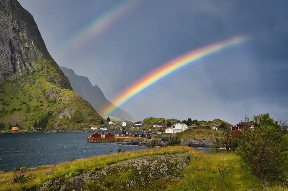
The visual character of Reinefjorden changes radically across seasons. In summer, the midnight sun reflects off calm waters for 24 hours, creating ethereal light that eliminates shadows and flattens perspective. In autumn, storms churn the water and dramatic clouds gather over the peaks. Winter brings shorter days, but the quality of light during the brief daylight hours becomes colder and more dramatic. Spring sees snowmelt rushing from mountain ravines into the fjord, creating temporary waterfalls and white water. Your tour timing will determine which seasonal version of Reinefjorden you experience, each offering different moods and photographic possibilities. The local guide will interpret these changes and explain how fishermen historically read the water and weather to plan their work.
See all three villages with a local guide
from US$209Reserve now & pay later