In a nutshell
- The peaks rising straight from the sea are among Earth's oldest mountains, their ancient granite shaped by ice and time into Lofoten's dramatic peaks.
- Despite Arctic latitude, the Gulf Stream keeps these islands mild enough for swimming and rare Arctic ecosystems that thrive where they shouldn't.
- Ramberg beach glows white and turquoise because pale quartz and shell sand under clear, shallow water scatter light in ways found nowhere else in the north.
- Photographers return for the Lofoten Islands sun - midnight brightness in summer, twilight glow in winter, and golden hour light that lasts for hours.
- White-tailed eagles soar above, whales breach offshore, and otters hunt in waters where Arctic wildlife thrives in this exceptional northern landscape.
Three Billion Years of Stone Rising from the Sea
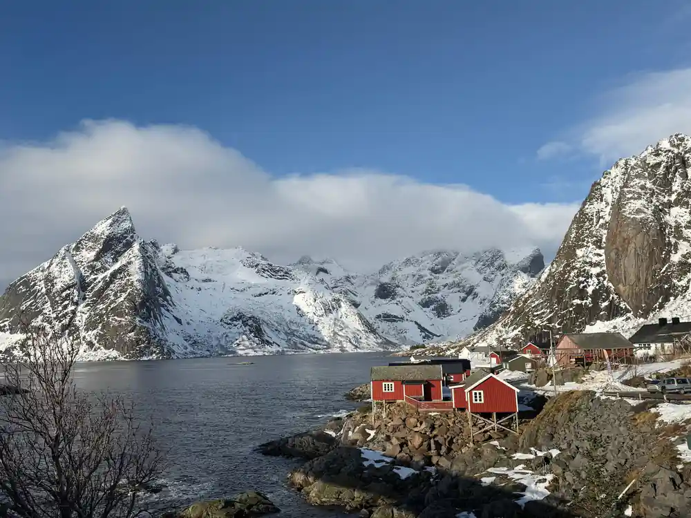
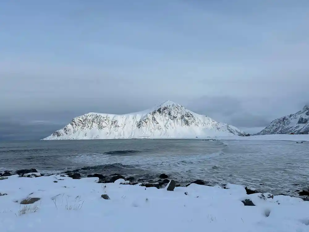
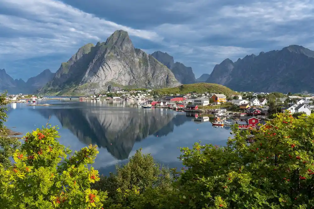
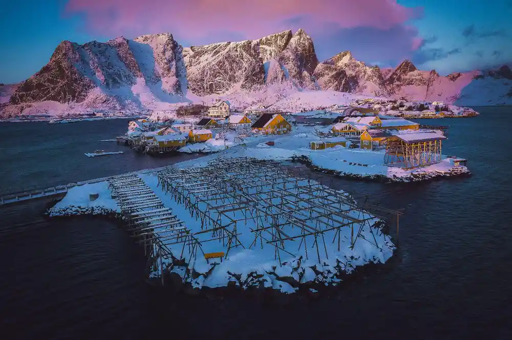
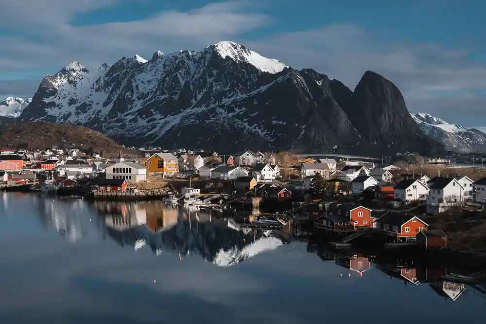
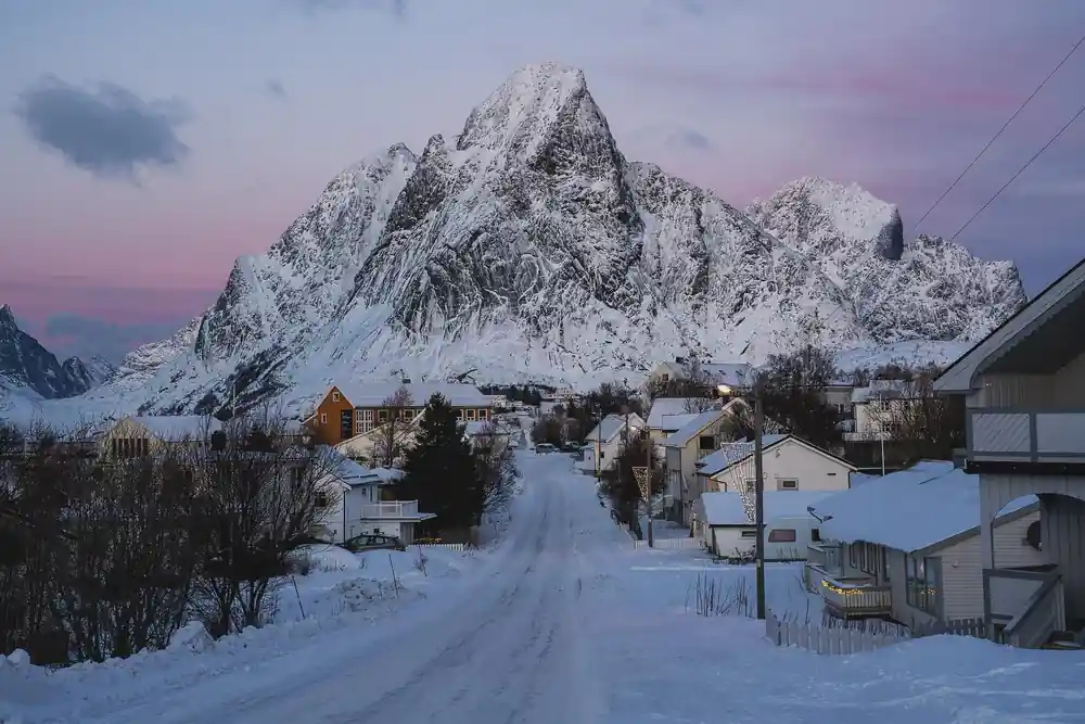
The mountains of Lofoten are among the oldest on Earth. The gneiss and granite peaks that define this archipelago formed roughly three billion years ago, making them ancient by any measure. What makes them extraordinary is not their age alone, but their drama: these vast stone walls rise nearly vertical from the sea, with summits reaching 1,000 metres or more just metres from the waterline. During this 9-hour tour, you will see this geology unfold in real time as you drive the E10 highway and stop at viewpoints where the scale becomes almost incomprehensible.
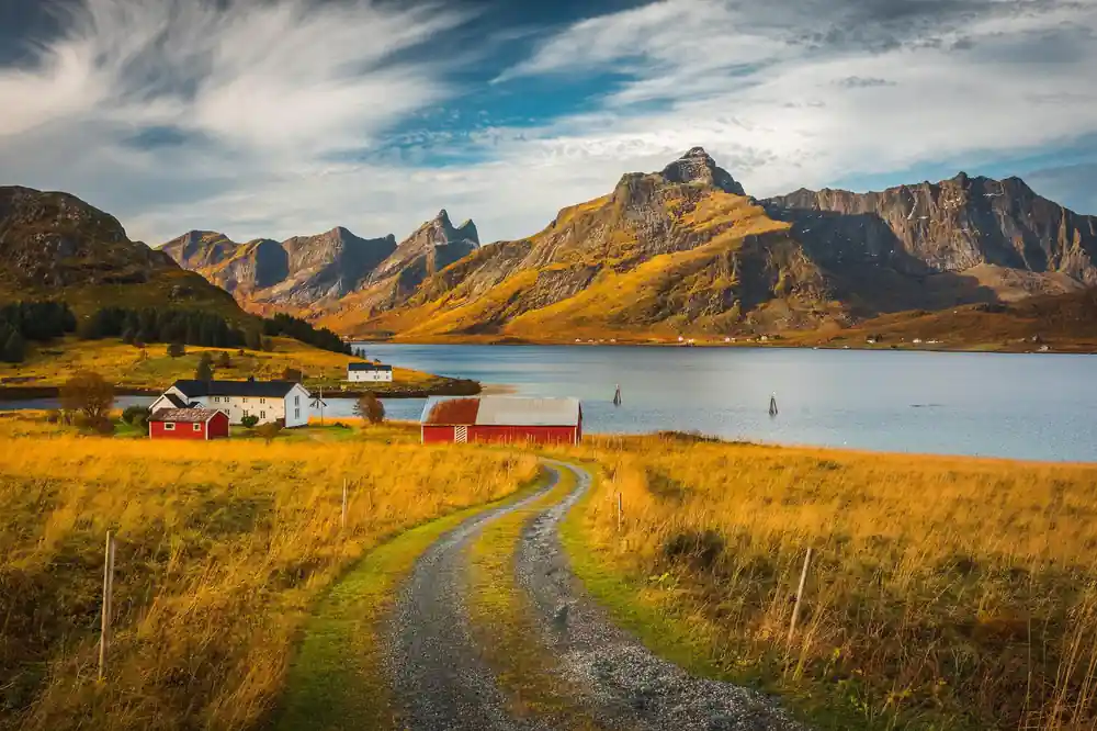
The steep terrain tells a story of uplift and erosion. Glaciers have carved deep valleys and fjords between the peaks, while the sea has worn the lower slopes into dramatic cliffs and natural harbours. At Flakstadpollen, one of the most photographed bays in Norway, turquoise water laps against ancient bedrock. The contrast between the pale mineral-rich water and the dark, weathered stone creates a visual intensity that draws photographers and geologists alike. Your guide will explain how these mountains came to be and why their sharp profiles dominate every direction you look.
The Gulf Stream Secret: Why Lofoten Stays Mild
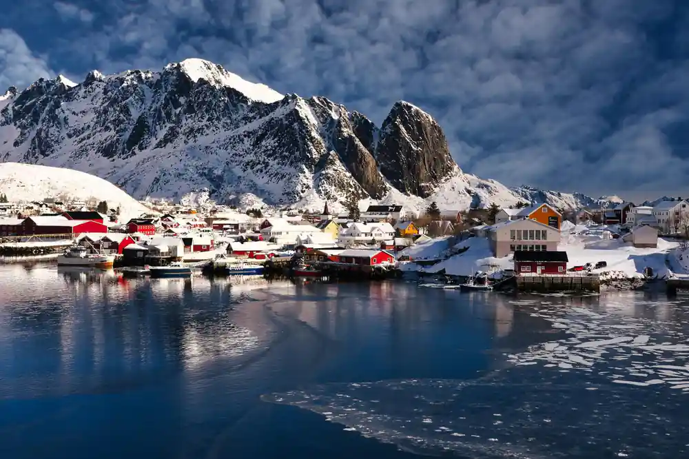
Lofoten sits at 68 degrees north, well above the Arctic Circle, yet it experiences remarkably mild winters compared to places at similar latitudes across the planet. The reason is the Gulf Stream, a warm ocean current that flows north from the tropical Atlantic and brings heat energy far into Arctic waters. This thermal gift keeps coastal areas ice-free through the winter and allows fish stocks that feed the region's traditional economy to thrive year-round.
As you travel through the islands, your local guide will point out how this oceanic warmth shapes everything you see: the vegetation that clings to cliffs, the birds that stay through winter, the fishing villages built on the assumption of reliable water access. The current also influences light and weather patterns throughout your tour, creating the shifting atmospheric conditions that make Lofoten so prized by photographers. On clear days, the interplay of northern light and water creates colours and contrasts that simply cannot be replicated elsewhere.

Ramberg: Arctic Beaches of White Sand and Turquoise Water
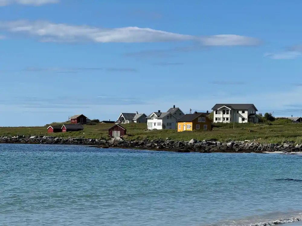
Ramberg beach stretches for the length of the village and is famously covered in pale, fine sand despite its location at the edge of the Arctic. The turquoise colour of the water comes from clear, shallow sea over pale quartz and shell sand, a phenomenon visible throughout Lofoten but particularly striking here. During your stop, you will understand why this beach has become an icon of Nordic landscapes: the contrast between the white sand, the vivid water, and the dark jagged peaks behind creates a landscape that feels almost unreal.
You may be tempted to wade or swim. The water temperature remains cool even in summer, rarely exceeding 12 to 14 degrees Celsius, so most visitors prefer to walk the shoreline and photograph the scene rather than immerse themselves. The beach is also a place to observe how Lofoten's unique geography supports life: look for wading birds, and scan the water's edge for signs of the smaller mammals that inhabit this coast. Your guide will have stories about the history of this place and can point out details of the geology and ecology that give Ramberg its particular character.
Flakstadpollen: The Bay That Defines Lofoten
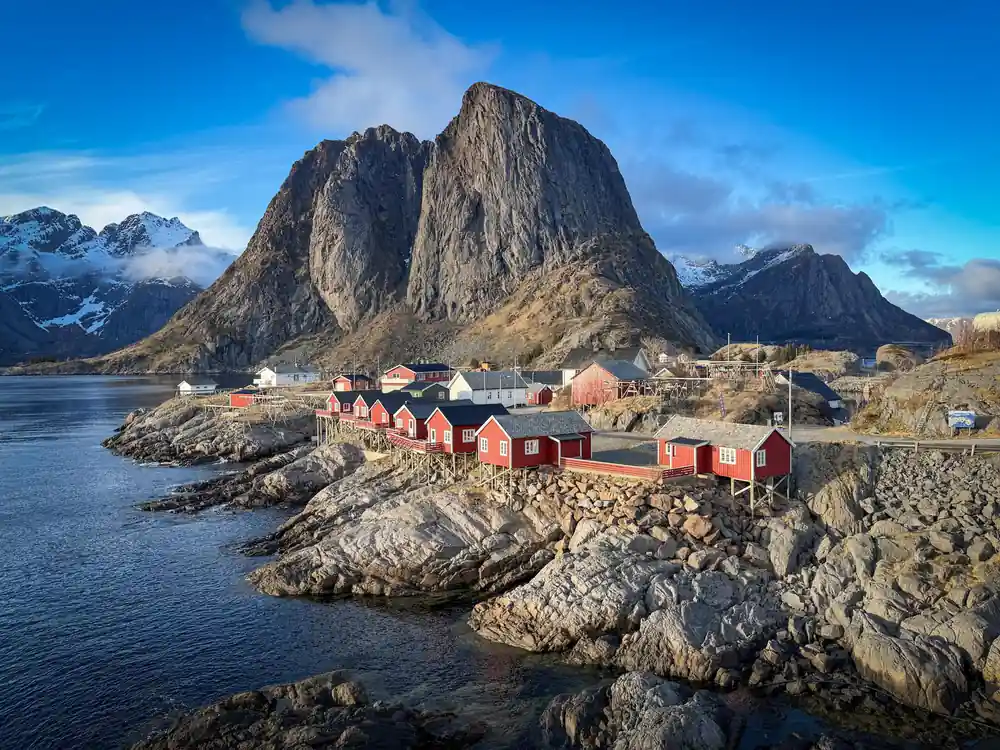
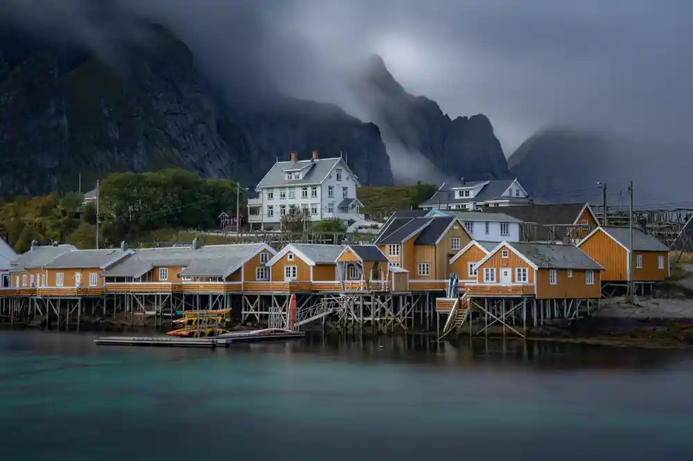
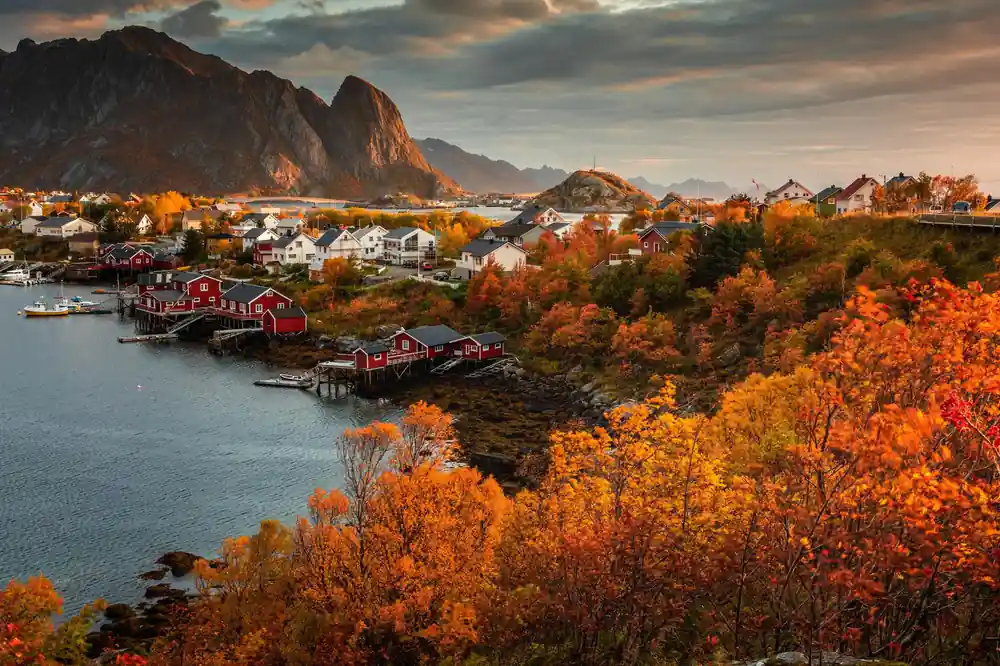
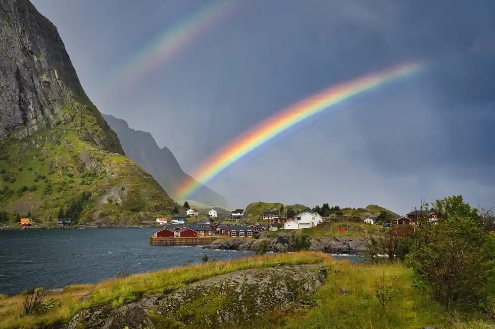
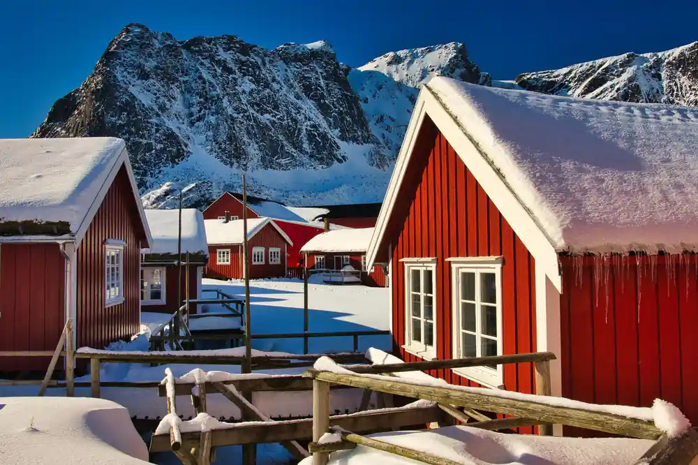
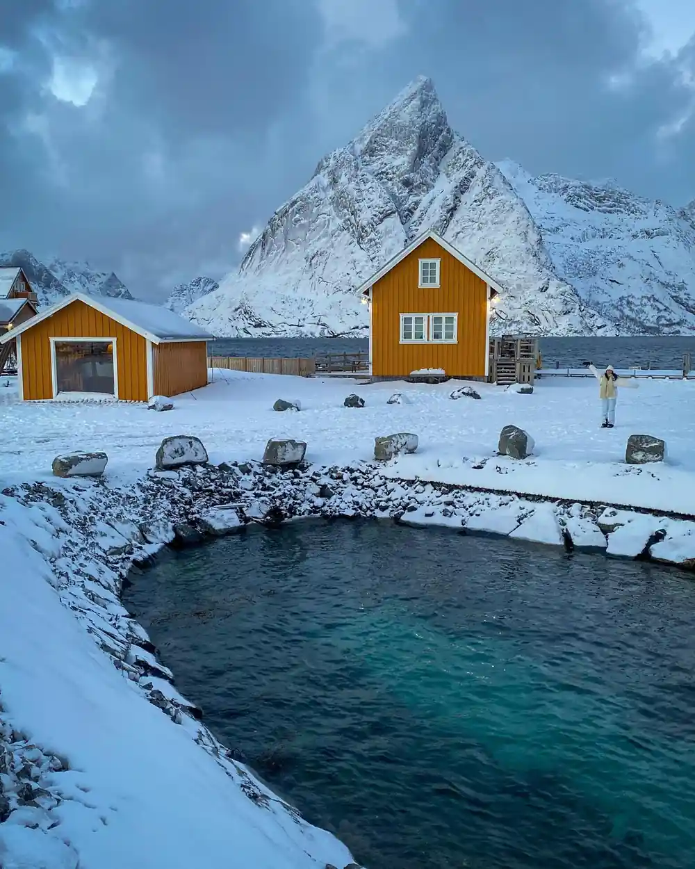
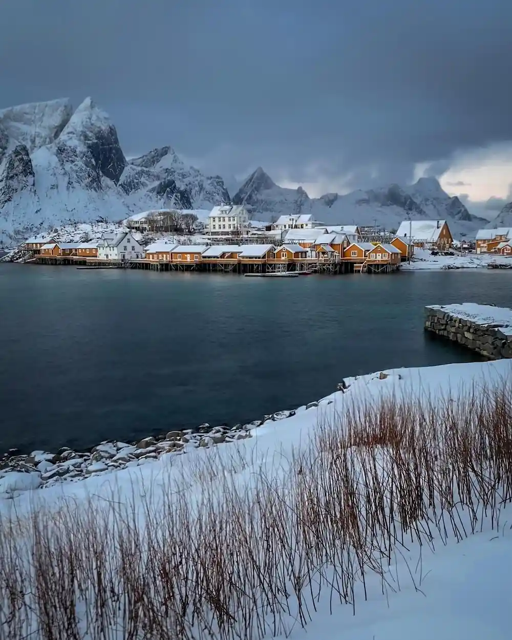
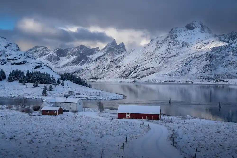
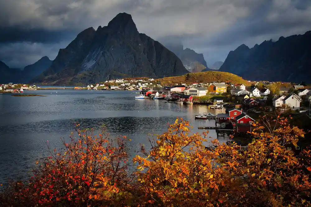
Flakstadpollen is a quiet bay that few visitors have heard of, and the 9-hour tour stops there for ten minutes on the way west. The bay is a near-perfect semicircle of turquoise water enclosed by steep cliffs and low-lying islands. Fishing huts in traditional red paint dot the shoreline, and the water is so clear that the seabed is visible in shallow areas. This is where countless travel photographs originate, and visiting in person explains why: the light, the scale, and the sense of isolation create a profound impression.
Your guide will spend sufficient time here to allow you to absorb the landscape and take photographs from multiple angles. The geology visible at Flakstadpollen is also instructive: you can see the ancient rock formations, the layers of different mineral compositions, and the way erosion has sculpted the cliffs. In summer, the light lingers late into the evening, casting the mountains in warm, diffuse glow. In spring and autumn, the shifting angle of the sun creates dramatic shadows and colour shifts across the water throughout the day.
3
The mountains beneath your feet are three billion years old, among Earth's most ancient stone.
Eagles, Whales and Otters: Wildlife Above and Below
Lofoten's isolation and productive waters support populations of large wildlife that many visitors hope to encounter. The most visible are sea eagles, which nest on cliff faces and hunt across the water. These birds have wingspans exceeding two metres and are frequently sighted during a Svolvær sea eagle safari and general tours through the islands. Your guide, who lives locally and knows the habits of resident birds, will point out active nests, perching sites, and feeding areas. White-tailed eagles often appear without announcement, gliding low over the water to snatch fish from the surface.
Offshore, Lofoten islands killer whales and other cetaceans move through the waters, though sightings are not guaranteed. Orcas appear most reliably in winter and autumn when herring schools move into the fjords, but the guide will explain the seasonal patterns and point out signs of marine mammal activity. Otters also inhabit the coast, though they are more elusive and nocturnal. Your guide will identify scat, feeding remains, and haul-out sites where these animals rest. The full tour, conducted at a relaxed pace with ample stops, maximises your chances of observing wildlife in its natural context rather than rushing past opportunities.
Light and Photography in the High North
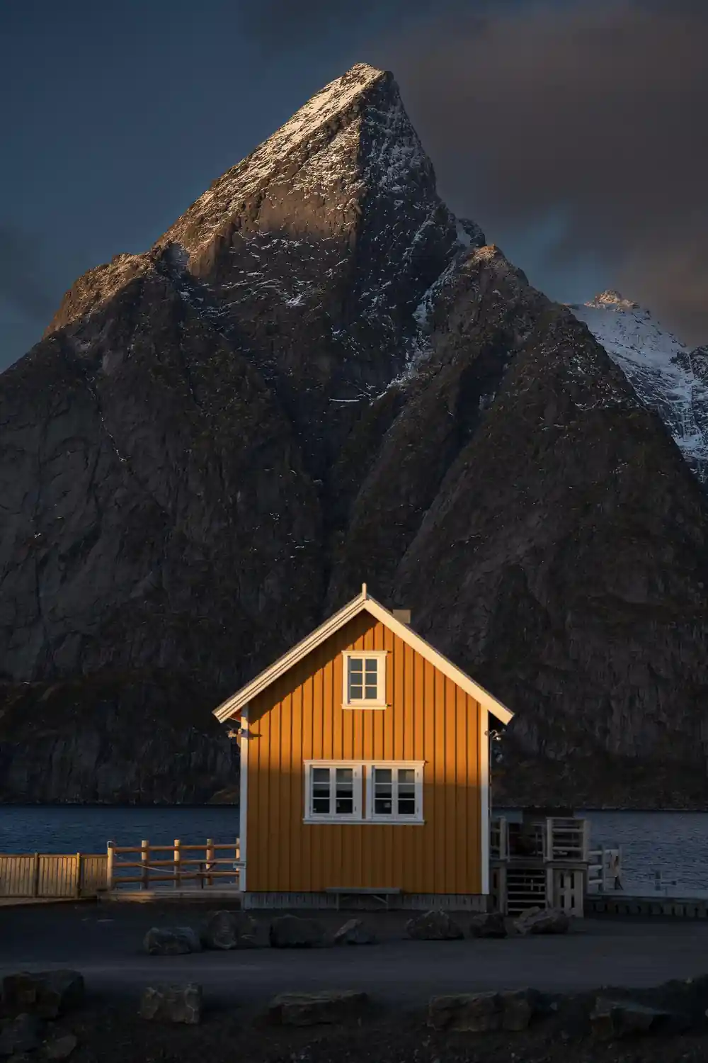
Lofoten's northern latitude and clear Arctic air create lighting conditions found nowhere else. In summer, the sun barely dips below the horizon, producing a pale, even illumination that lasts from early morning into late evening. In spring and autumn, the sun traces a low arc across the sky, casting long shadows and warm, golden tones across stone and water. Winter brings the possibility of aurora, though darkness is profound and unbroken. For photographers, these conditions are extraordinary, and many professional and amateur image makers make pilgrimages to Lofoten specifically to work in this light.
The minivan journey itself becomes a mobile photography workshop under the guidance of someone who knows where light strikes best at different times of year. Your guide will discuss how the Gulf Stream and Arctic geography combine to create unique atmospheric effects: the clarity of air, the unusual colour saturation in water and sky, and the way weather systems move and change across the landscape. If you add Unstad, the surf beach on Vestvagøya reached by a side road off the E10 and not part of this itinerary, your guide will explain why this location has particular appeal for certain types of photography and activity.
A Full Day at Relaxed Pace: What to Expect
The nine-hour itinerary is structured to move you through seven locations without feeling rushed. You will depart from Svolvær or Leknes in a comfortable minivan with a maximum of nine passengers, allowing genuine conversation with your guide and fellow travellers. The drive itself is part of the experience: scenic overlooks are incorporated into the route, and your guide will share stories about Lofoten's history, geology, and current life as you travel. A proper meal break is included, giving you time to rest and process the landscape.
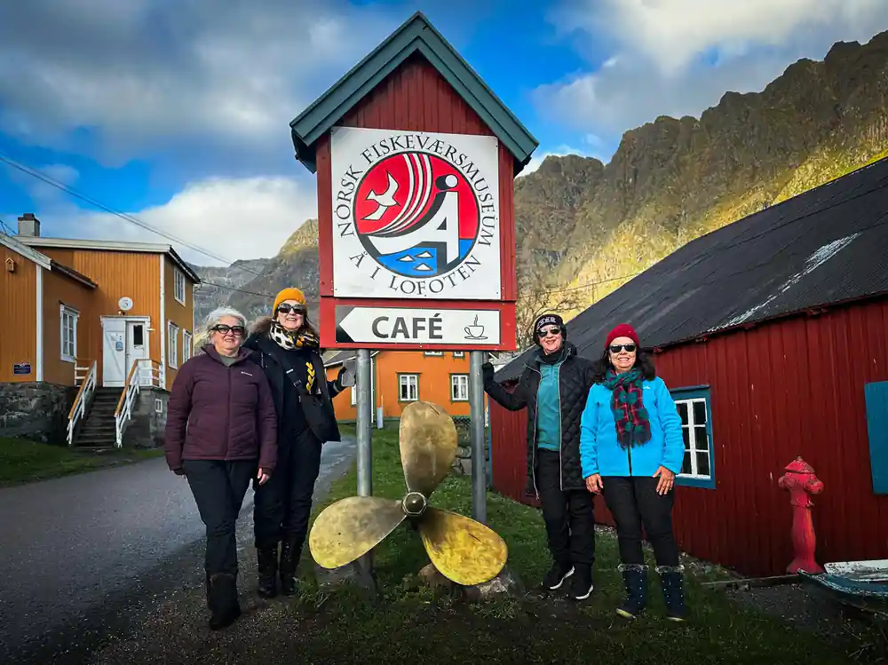
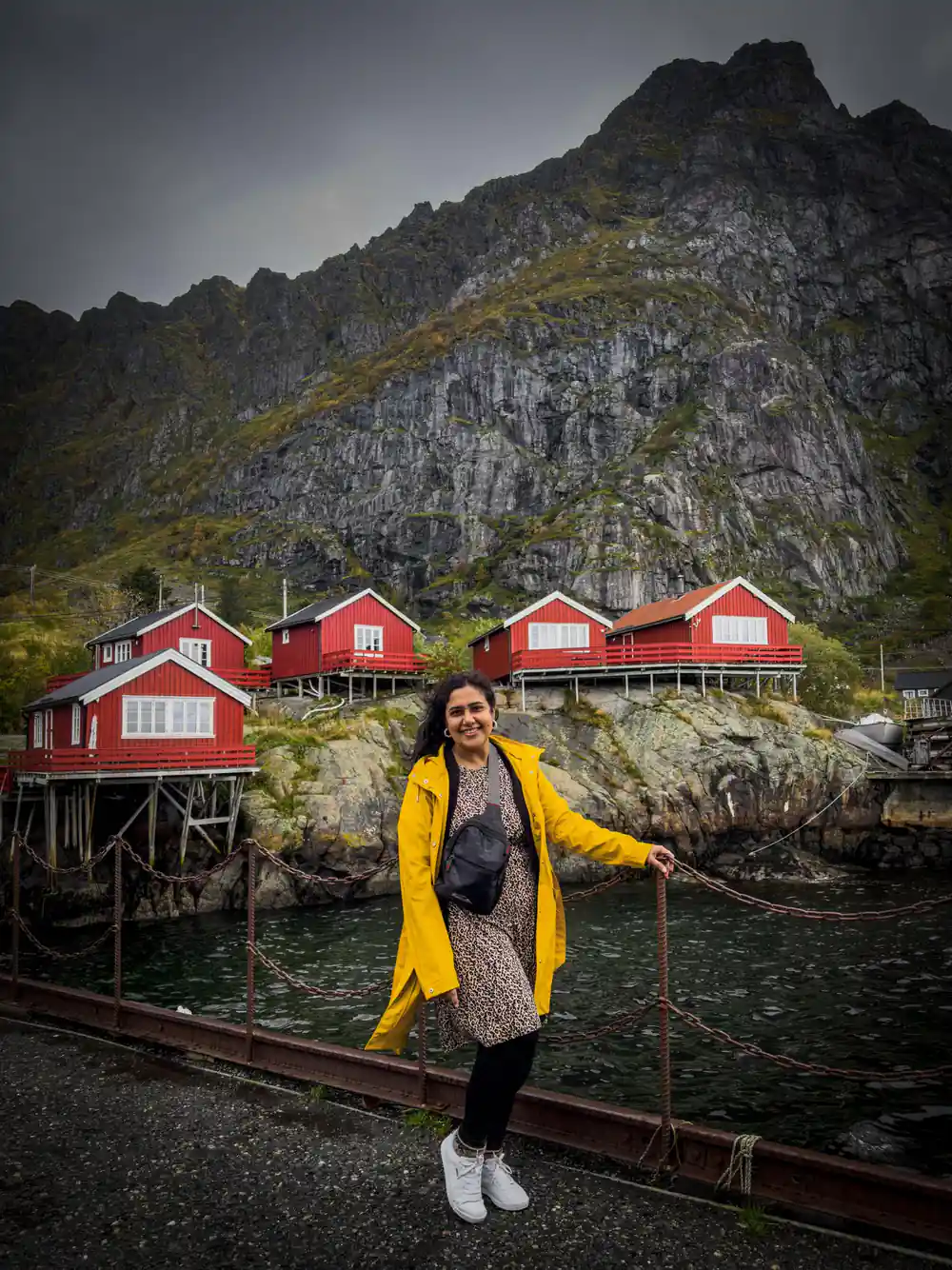
Hot tea or a special Norwegian beverage served in thermos cups and a light Norwegian snack are provided, sustaining you through the day without requiring you to arrange meals yourself. Personal headsets ensure you can hear your guide clearly even in a moving vehicle, removing the distraction of traffic noise. By the end of the day, you will have visited the iconic village of Å, the dramatic settlements of Reine, Hamnøy, and Sakrisøy, and multiple viewpoints that reveal the scale and character of Lofoten's mountains, water, and wildlife. This pace allows you to genuinely experience the place rather than simply accumulate locations on an itinerary.
See Lofoten's peaks and Arctic beaches with a guide
from US$209Reserve now & pay later